National Parks and monuments
Yosemite - California
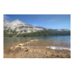
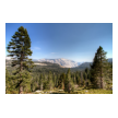
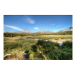
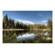
Yosemite national park is located in and around the Sierra Nevada area of California and designated a world heritage site in 1984.
Much has been written about Yosemite and below are some great links for more information;
https://en.wikipedia.org/wiki/Yosemite_National_Park
https://www.nps.gov/yose/index.htm
Death Valley - California
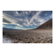
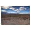
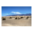
Death Valley is one of the largest national parks in the United States, located east of the Sierra Nevada between the Mojave desert and Great Basin. The oldest rocks here date back 1.7 billion years and native americans inhabited the area as early as 7000BC. At 86 feet below sea level, Badwater basin is the second lowest point in the western hemisphere while the Panamint mountain range is the highest at 11,049 feet
Canyon de Chelly - Arizona
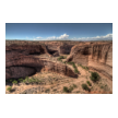
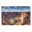
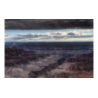
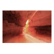
Located in northeastern Arizona within the boundaries of the Navajo Nation reflecting one of the longest continuously inhabited landscapes of North America, it preserves ruins of the early indigenous tribes that lived in the area, including the Ancient Pueblo Peoples (also called Anasazi) and Navajo. The monument covers 83,840 acres (131.0 sq mi; 339.3 km2) and encompasses the floors and rims of the three major canyons: de Chelly, del Muerto, and Monument. These canyons were cut by streams with headwaters in the Chuska mountains just to the east of the monument.
White Sands - New Mexico
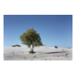
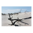
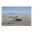
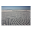
The desert is located in Tularosa Basin New Mexico. Its white sands are not composed of quartz, unlike most desert sands, but of gypsum and calcium sulfate. Unlike other desert sands, it is cool to the touch, due to the high rate of evaporation of surface moisture and the fact that the sands reflect, rather than absorb, the sun's rays. At 1185 meters above sea level, there are approximately 442 total square kilometers of dune fields and is known to be the world's largest surface deposit of gypsum.
Needles district - Canyonlands Utah
The Needles section of Canyonlands National Park is just 15 miles south of the Island in the Sky, but 137 miles distant by road. It is so named because of the massive red and white eroded sandstone pillars that extend southwards for many miles, forming a jumbled and hostile landscape, but the area also has many arches, domes, narrow canyons and signs of ancient Indian life such as ruins and rock-carvings. The district is a lot lower in elevation than the Island, and its river canyons are less steep but more branched, so there are greater opportunities for extended hiking and 4WD exploration.
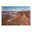
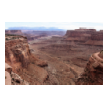
Canyonlands - Utah
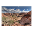
The area was once home of the Ancestral Puebloans, of which many traces can be found. Although the items and tools they used have been largely taken away by looters, some of their stone and mud dwellings are well-preserved. The Island in the Sky district is a broad and level mesa to the north of the park between Colorado and Green river with many overlooks from the White Rim, a sandstone bench 1,200 feet below the Island, and the rivers, which are another 1,000 feet below the White Rim.
here is a link to the Canyonlands N.P trailguide
Saguaro Park, Sonoran Desert - Arizona
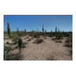
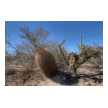
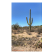
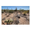
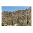
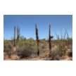
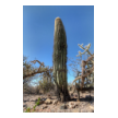
Saguaros are a very slow growing cactus. In Saguaro National Park, studies indicate that a saguaro grows between 1 and 1.5 inches in the first eight years of its life. An adult saguaro is generally considered to be about 125 years of age. It may weigh 6 tons or more and be as tall as 50 feet. The average life span of a saguaro is probably 150 - 175 years of age. However, biologists believe that some plants may live over 200 years.
Grand Canyon ( North Rim ) - Arizona
Please click here NorthRimGuide-0428.pdf to learn more about this astonishing location
Bryce Canyon - Utah
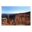
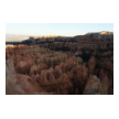
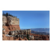
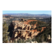
Bryce Canyon which, despite its name, is not a canyon but a giant natural amphitheater created by erosion along the eastern side of the Paunsaugunt Plateau. Bryce is distinctive due to geological structures called hoodoos, formed by wind, water, and ice erosion of the river and lake bed sedimentary rocks. The national park lies within the Colorado Plateau geographic province of North America and straddles the southeastern edge of the Paunsagunt Plateau west of the Paunsagunt Fault (Paunsagunt is Paiute for "home of the beaver").
Natural Bridges national monument - Utah
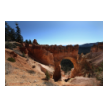
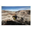
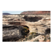
Natural Bridges National Monument is a U.S. National Monument located about 50 miles north west of the Four Corners boundary of southeast Utah at the junction of White Canyon and Armstrong Canyon. It features the second largest natural bridge in the world, carved from the white Permian sandstone of the Cedar Mesa Formation that gives White Canyon its name.
The three bridges in the park are named Kachina, Owachomo, and Sipapu (the largest), which are all Hopi names. A natural bridge is formed through erosion by water flowing in the stream bed of the canyon. During periods of flash floods, particularly, the stream undercuts the walls of rock that separate the meanders (or "goosenecks") of the stream, until the rock wall within the meander is undercut and the meander is cut off; the new stream bed then flows underneath the bridge.

